UKRAINE
UKRAINE introduction
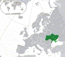
ukraine is the largest country within europe and has 53 million residents. it is located in east europe, north of the black see. the capital is kiev.
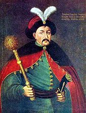
its history is a long and complex story. here is a simplified version. the earliest kind-of-country covering the area which is now ukraine was kievan-rus, founded by the "rus" people around 880 when they settled in kiev. their cultural background were the varangians, vikings from scandinavia. the kievan-rus realm included the central, western and northern part of modern ukraine, belarus, the eastern strip of poland and the most-western part of present-day russia. over the following centuries, this country split into smaller realms or became part of other kingdoms, such as lithunia. in 1240 the mongol invasion basically destroyed existing provinces. yet in 1648, the cossack principal bohdan khmelnytsky got hold of kiev and founded the "cossack hetmanate", a rather unusual sovereignty - but that existed only until 1764.
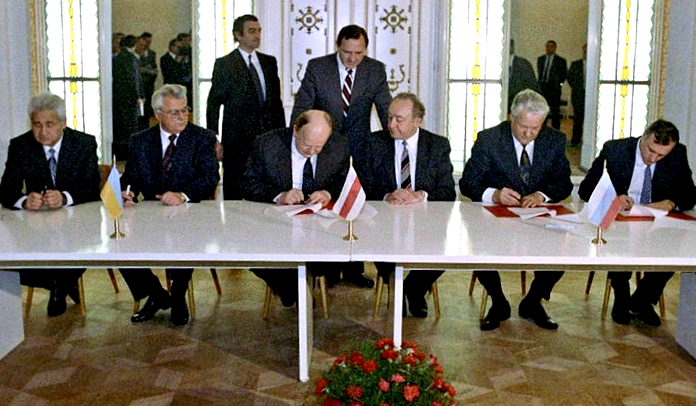
the various divisions of poland 1772, 1793, 1795) had substantial impact. - russia in the east and austria in the west gained control of most areas. later, in worldwar-1, some ukranian troops were part of the imperial russian army, others of the austro-hungarian army. after both these empires collapsed. in 1917 the communist sowjet federation was created. the following years of war included ukraine, which suffered heavily from phases of civil war. at the end, around 1921, ukraine became defacto a member state of the new soviet union, and this stayed so for many decades. then, in worldwar-2, the german-russian combats had devastating impacts on ukraine from 1941 to 1944. finally, in 1990 things changed fundamentally - the sowjet union collapsed. ukraine was one of the many countries which gained autonomy as an independent state; in december 1991 this was made official.
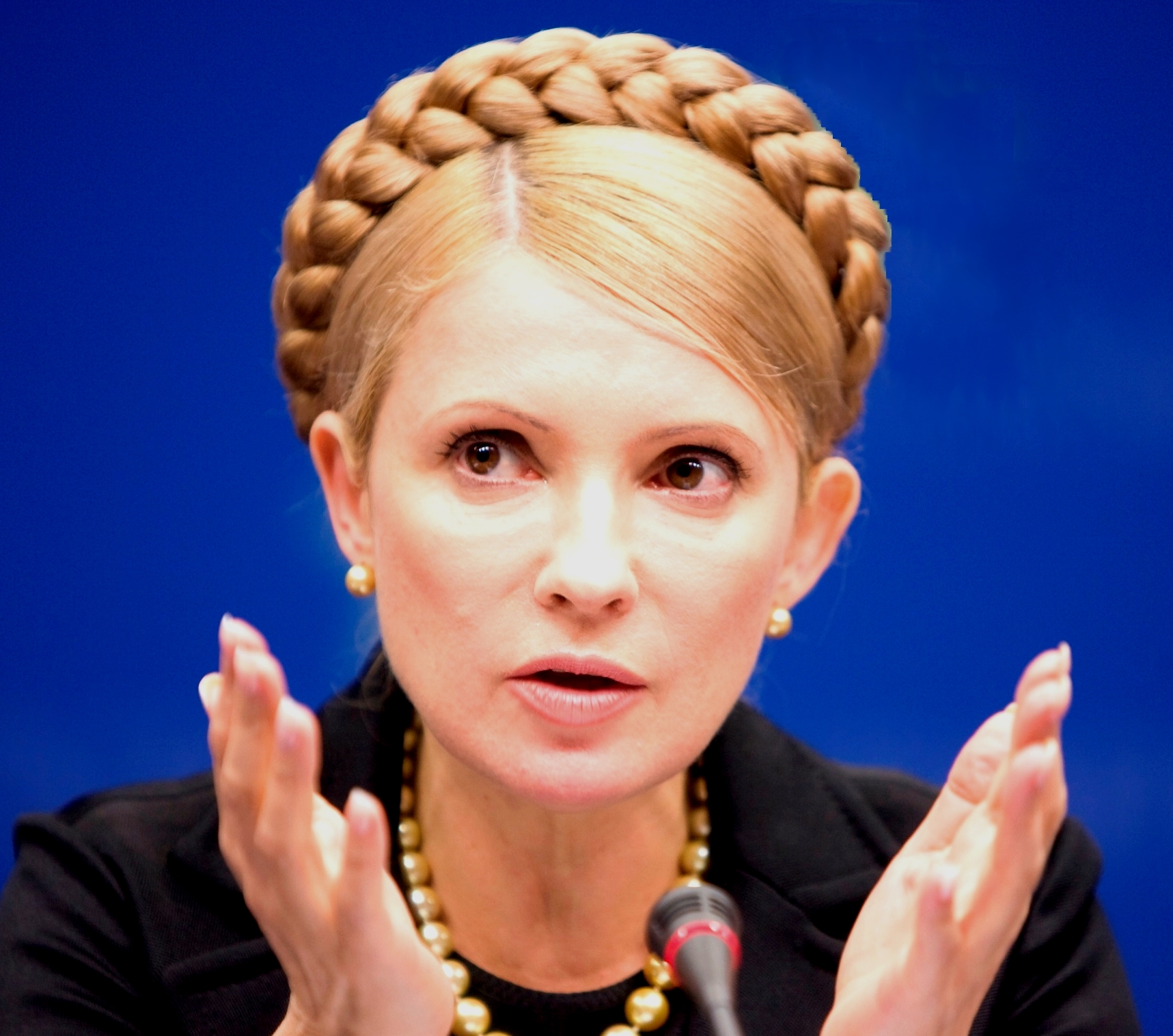
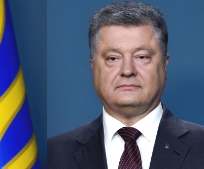
the now sovereign country inherited an immense amount of chances as well as multifold problems. the worst is that chernobyl, the place of a terrible nuclear disaster, is located in northern ukraine. in 2004 the inner "orange revolution" started. nine years later the "euromaidan" movement changed again the democracy situation in ukraine. two people had crucial influence, first yulia tymoshenko and later petro poroshenko, who is now president.
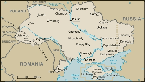
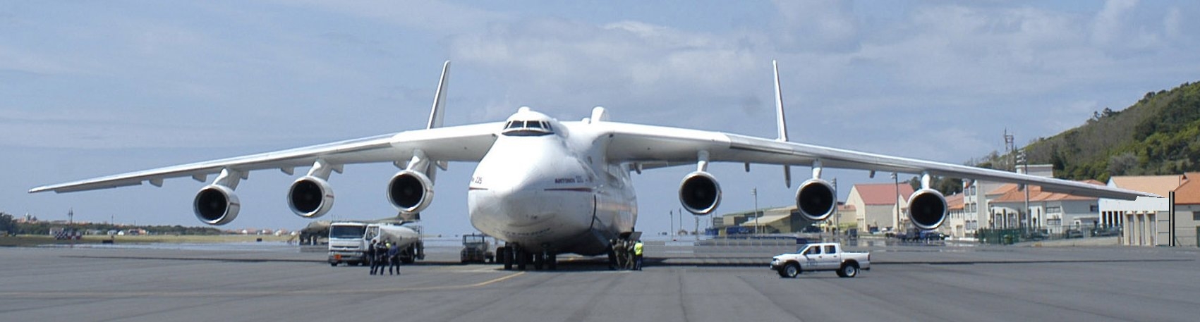
ukraine is clearly overdemanded by many societal and economic complications. in 2014 russia made use of the country's weakness and completely annected the crimean peninsula. furthermore, in the donetsk and luhansk regions, where russian citizen are in majority, actions close to civil war are underway. both issues are marked in the above map of ukraine nevertheless, the country acts intensely on manufacturing and trade. a well-known aircraft company, antonov, is headquartered in kiev. the most famous plane is the an225 - this is the by far largest operating aircraft in the world. plus, ukraine has a large harbour in odessa
in spite of its rough history, most parts of ukraine are peacefull, and several cities, especially kiev, the capital, yet also lviv and odessa, are full of stunning features and therefore certainly worth a visit.